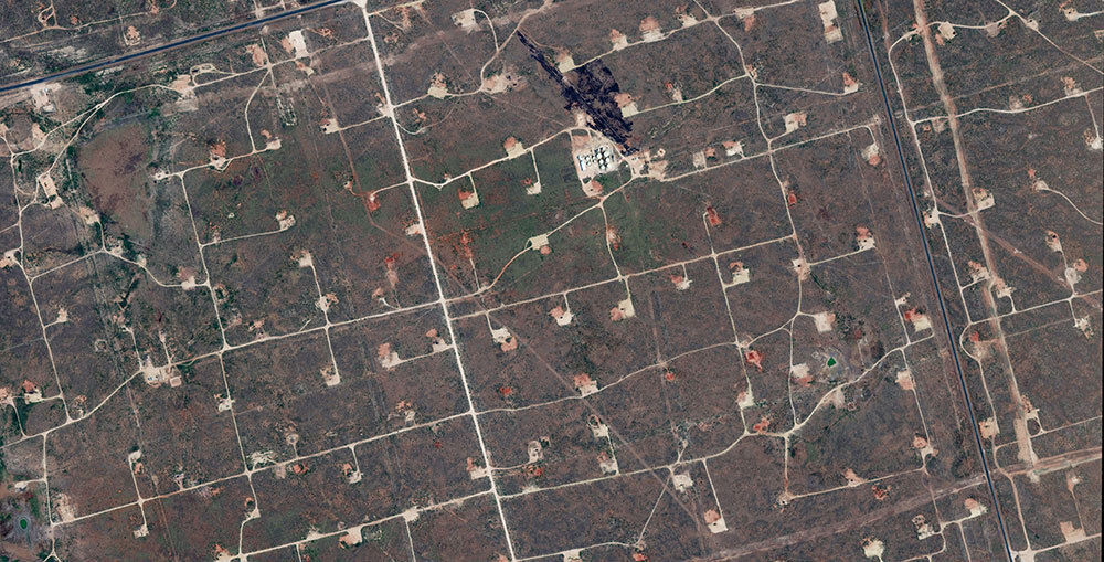
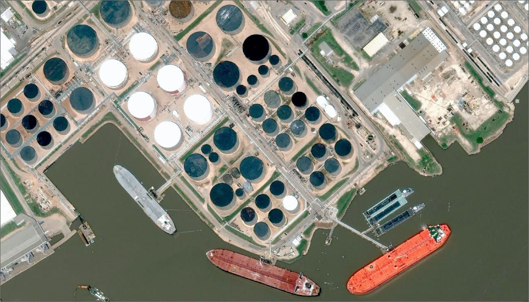
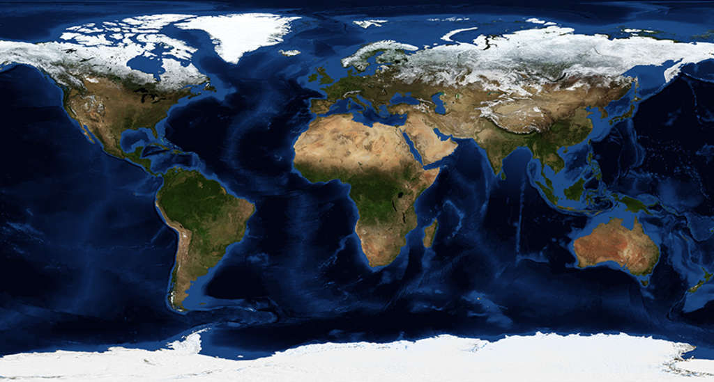
DigitalGlobe’s WorldView-1 satellite, launched in September
2007, is the most agile satellite
ever flown commercially. The high-capacity,
panchromatic imaging system features
half-meter resolution imagery. Operating
at an altitude of 496 kilometers,
WorldView-1 will have an average
revisit time of 1.7 days and will
be capable of collecting up to 750,000
square kilometers (290,000 square
miles) per day of half-meter imagery.
The satellite will also be equipped
with state-of-the-art geo-location
accuracy capabilities and will exhibit
stunning agility with rapid targeting
and efficient in-track stereo collection. View
WorldView-1 specifications (open
in new window)
Please contact us via phone or email for
additional information and pricing.
WorldView-2 launched in October, 2009.
Operating at an altitude of 770 kilometers, WorldView-2
enables DigitalGlobe to offer half-meter
panchromatic resolution and 1.8-meter multispectral
resolution. WorldView-2 has an average
revisit time of 1 day and is capable of
collecting up to 975,000 square kilometers (376,000
square miles) per day of half-meter imagery.
The WorldView-2 system allows DigitalGlobe
to substantially expand its imagery product offerings
to both commercial and international customers
with a more commercially desirable, higher performance
product. Added spectral diversity provides
the ability to perform precise change detection
and mapping. WorldView-2 incorporates the
industry standard four multispectral bands (red,
blue, green and near-infrared) and will also
includes four new bands (coastal, yellow, red
edge, and near-infrared 2).